Ag-Tech & GIS
Deploying high-resolution imagery and sensing technology to the field.
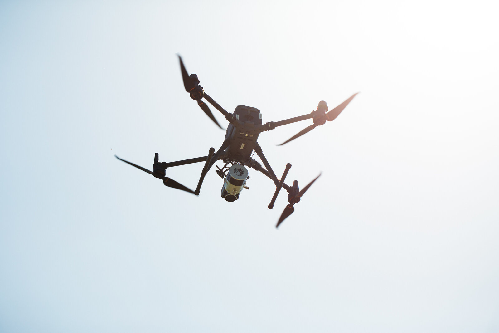
GIS and Mapping
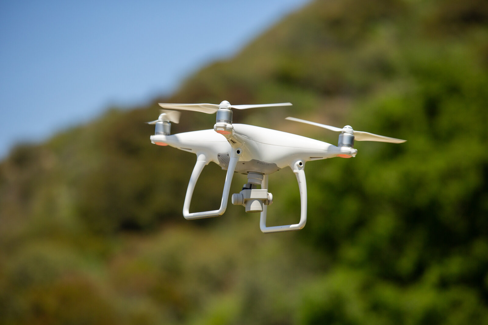
UAVs and drones used for aerial imaging and spatial data collection.

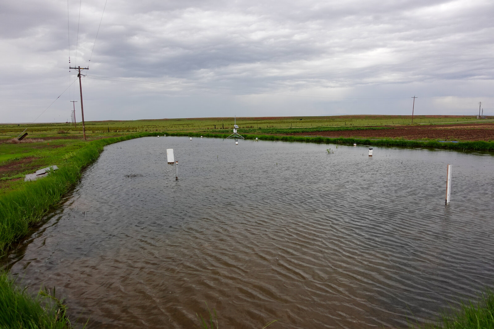
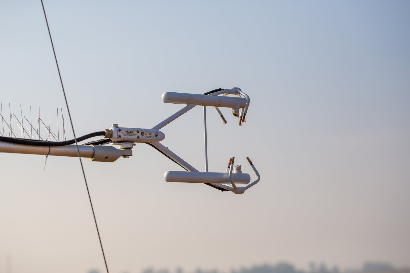
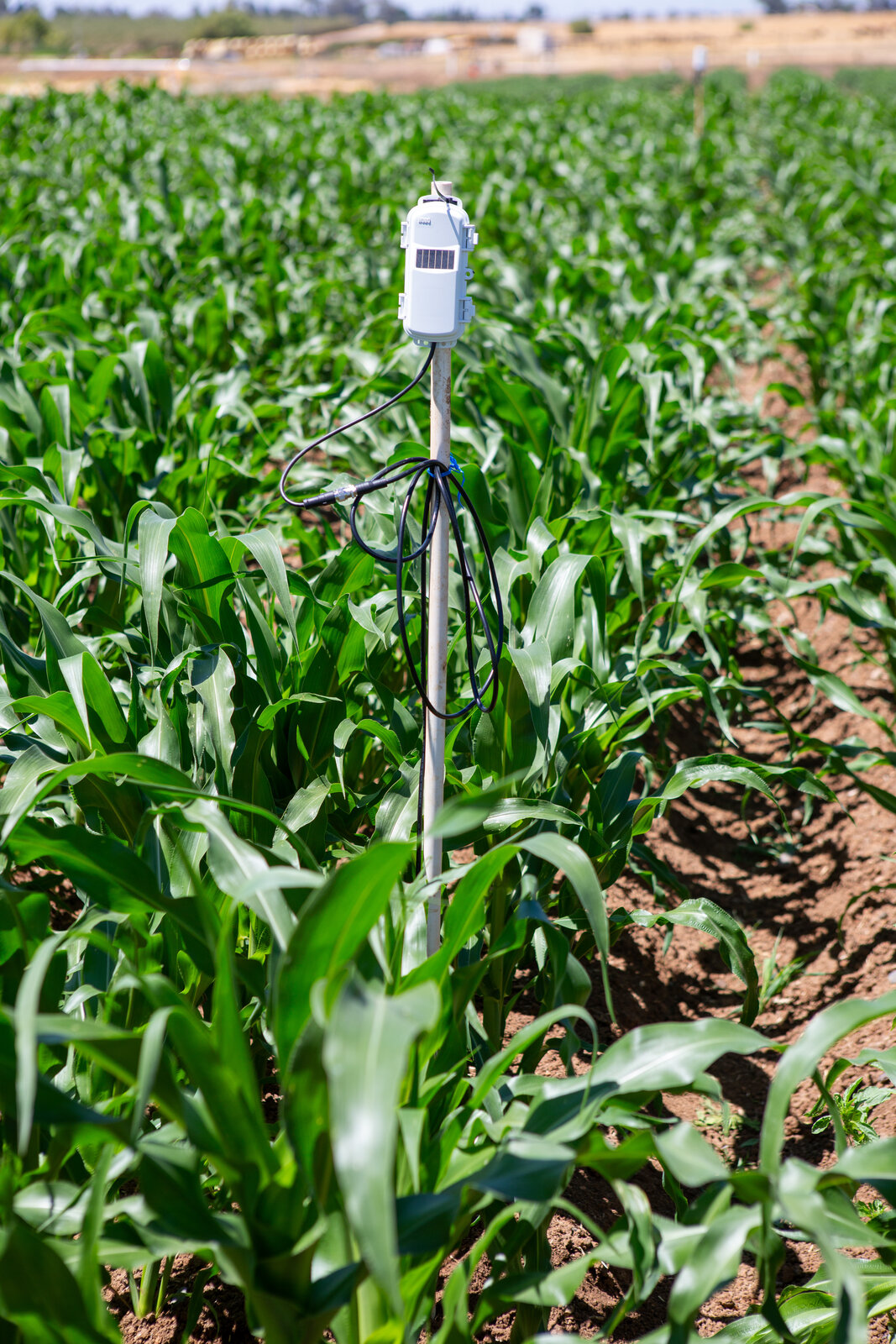
Ag-Tech in the Field
Documenting the sensors, machines, and networks that power modern production.